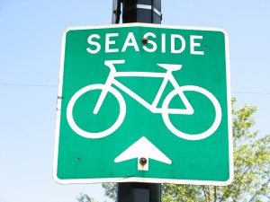
A cool tool for Vancouver bicyclists
 If you’re a bicyclist who’s getting acquainted with Vancouver, you may already have found the city’s helpful Cycling in Vancouver website, which lists bike routes around town.
But what if you’re trying to figure out how far it is to cycle from Point A to Point B or find the route with the fewest hills?
Then check out UBC’s Metro Vancouver Cycling Route Planner.
The brainchild of Professor Michael Brauer in the university’s School of Environmental Health, this project adapts Google Maps to deliver a variety of useful cycling information. Plug in your start and end points, and the site will tell you the shortest route, the path with fewest hills, and the best way to avoid traffic pollution.
Thanks to Translink’s Buzzer Blog for tipping us off to this cool tool.
Photo ©Carolyn B. Heller


