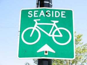
Una herramienta fresca para los ciclistas de Vancouver
 If you’re a bicyclist who’s getting acquainted with Vancouver, you may already have found the city’s útiles Ciclismo en el sitio web de Vancouver, que las listas de rutas en bicicleta alrededor de la ciudad.
But what if you’re trying to averiguar hasta qué punto es para el ciclo from Point A to Point B or encontrar la ruta con menor número de las colinas?
Entonces echa un vistazo UBC’s Metro Vancouver Cycling Route Planner.
The brainchild of El profesor Michael Brauer in the university’s Escuela de Salud Ambiental, este proyecto adapts Google Maps to deliver a variety of useful cycling information. Conecte los puntos de inicio y fin, and the site will tell you the shortest route, la ruta con menor cantidad de colinas, and the best way to avoid traffic pollution.
Gracias a Translink’s Buzzer Blog for tipping us off to this cool tool.
Foto © Carolyn B. Heller


