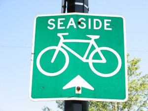
Uno strumento cool per i ciclisti Vancouver
 If you’re a bicyclist who’s getting acquainted with Vancouver, you may already have found the city’s utile Cycling in Vancouver website, che elenca percorsi ciclabili in città .
But what if you’re trying to figure out how far it is to cycle from Point A to Point B or trovare il percorso con le colline minor numero di?
Allora date un'occhiata UBC’s Metro Vancouver Cycling Route Planner.
The brainchild of Il professor Michael Brauer in the university’s Scuola di Salute Ambientale, questo progetto adapts Google Maps to deliver a variety of useful cycling information. Collegare i vostri punti iniziale e finale, and the site will tell you the shortest route, il percorso con il minor numero di colli, and the best way to avoid traffic pollution.
Grazie a Translink’s Buzzer Blog for tipping us off to this cool tool.
© foto di Carolyn B. Heller


